Remember the butterfly effect? It was a popular summary of chaos theory suggesting a butterfly flapping its wings in the Amazon could cause a tornado in Texas.
Right now, a version of this is making it hard for us to predict whether an El Niño event is coming.
After three consecutive La Niña years, that part of the cycle is officially over. But it’s not certain an El Niño will replace it. Australia’s Bureau of Meteorology this week announced an El Niño watch – a “wait and see” forecast giving us a 50% chance of an El Niño forming later this year. Other climate forecasting agencies around the world are sending a similar message to the Bureau of Meteorology’s, that we are on an El Niño watch.
While the conditions seem right for El Niño to form and likely bring hotter, drier weather to Australia, the world’s chaotic climate system is in a very unpredictable state. Fast forward three months, and our models will be much more certain about whether El Niño really is coming – or whether the system will remain in a neutral, or near-normal, state.
Why can’t we predict what’s going to happen?
At this time of year, the El Niño-Southern Oscillation (ENSO) cycle is at its most susceptible to change. Right now, the subsurface waters of the equatorial western Pacific are warmer than usual. If this water rises from deeper down to the surface of the ocean, it will interact with the atmosphere. This usually leads to more rain and floods for Chile, drier, hotter weather for Australia, and a variety of other effects worldwide.
But this isn’t inevitable. Let’s say a sudden burst of wind strikes, forcing warmer water to stay down deeper. This can disturb the whole cycle. Unexpected windbursts at this time of year can even tip the system into a different mode, ending up neutral or as a La Niña event.
Among climate scientists, this is known as the predictability barrier – and it’s why we can’t say for certain an El Niño is coming until later in the year.
Have we seen unexpected swings in the cycle before?
Yes, most recently in 2014. Early that year, climate models were predicting a truly enormous El Niño was set to begin.
But the monster El Niño didn’t happen. Cooler water flowed into the south-eastern Pacific at a critical time of year, while the unusual timing of westerly windbursts kept the warmer water down deeper.
The end result was that the whole system was nudged into a different configuration of a weak El Niño. It took another year for a full El Niño to develop. This time, it was very strong.
Could we really see a fourth La Niña? It could happen but it would be very unusual, given we’ve never seen four years of successive La Niña conditions. At present, the heat build-up under the surface of the equatorial Pacific suggests an El Niño is coming, but it’s not a given.
Why do we get these cycles anyway?
We believe the El Niño-La Niña cycle has a very long history, dating back to the formation of the Pacific Ocean about 190 million years ago.
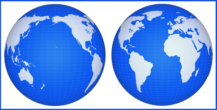
That’s because this ocean basin is the largest on Earth – and has a lot of seawater sitting along the equator. In our models, we can see the El Niño cycle forming out of the fluid dynamics, as warmer or cooler water moves across the ocean.
The Atlantic has a smaller version, named the Atlantic Niño. Why is it smaller? Because there’s much less water along the equator in the Atlantic. As a result, the Atlantic Niño has much less of an effect on weather globally.

So when will we know for sure?
El Niño and La Niña are at their strongest over December and January, though the effects and their timing can differ in Australia depending on where in the country you are. These cycles usually end some time between February and May.
The popular understanding of the butterfly effect and chaos science often gets one thing wrong. Chaotic systems like the world’s weather are not always unpredictable, but can be more or less sensitive to small changes at different times. Between March and May, it can take just a small nudge to flip the system. Later in the year, as either an El Niño, neutral phase or La Niña gathers pace, it is much harder to change course.
It’s like a ball poised on top of a high hill. A very tiny push is enough to send the ball rolling down either one side of the hill or another. The push might even be so tiny you can’t measure it accurately.
That’s why it’s so difficult to predict what’s going to happen, even though we understand the physics behind these events fairly well. The Pacific Ocean and the air overhead are extremely sensitive to “pushes” in any direction from March to May.
But once the ball rolls down one side rather than another, it’s much easier to predict which way it will keep rolling. By June or July, the ball is already rolling down the hill on whichever side it’s going to go, and there’s a lot more confidence and clarity in our predictions. Stay tuned.
Nandini Ramesh, Senior Research Scientist, Data61, CSIRO
This article is republished from The Conversation under a Creative Commons license. Read the original article.


